The Black Hills: Rushmore and Needles
The early morning leg from Wall to Rapid City was, well, very flat. It was probably just as well that we did much of it before sunrise. The pine-covered Black Hills appeared as a black smudge on the horizon in the morning light, and grew larger and more distinct as we approached. By seven o’clock we reached them – flat to hills with no preamble. By eight we reached Mount Rushmore.

Just as well, really, as the infrastructure supporting the attraction was overstated, as many popular tourist destinations seem to be. It felt like entering a large parking garage in any mega-city, with walkways designed to channel the masses. And like I said before, I’m not a fan of crowds. So we drove on, continuing on 16ALT. And there we discovered the magic of Rushmore! The views from Iron Mountain, framed by conifers and softened by privacy, were simply stunning! Several times we exited narrow tunnels to find the monument framed by the stone walls. We had the mountain to ourselves at that hour and took advantage of it by playing among the massive stones at the summit, absolutely carefree.

From there we moved on to the Needles Highway, a narrow ribbon of asphalt dancing among stone spires and views that cause your gaze to linger. I briefly thought of turning around and riding the Wildlife Loop, but the memory of Barley taunting the bison bull was still very fresh in my mind.

Reluctantly, I left the Black Hills behind. We dropped into the town of Spearfish with a longing for junk food. We refueled, then pulled into a KFC for lunch. We were lounging on the grass in the shade of a small tree when a pickup pulled in next to us. The driver, wearing a huge grin, introduces himself as Mike. He recognized our rig from my posts on ADVRider.com. With the eye of a machinist he examined my sidecar’s sub-frame and swaybar, taking mental notes for his own rig. “You’ve got to ride Spearfish Canyon,” he said as we shook hands goodbye. “It’s like a miniature Lolo Pass.”

We had already visited the towns of Lead and Deadwood, both overdone in that garish sameness, neither catering to riders so much as the chromed cruiser barhopping crowd. There was a good hotel a few miles ahead in Belle Fourche, we had time, so I took Mike’s advice. Wow! It was a fantastic detour, the sort of ride you don’t discover without the input of a local rider! From there we rode to the hotel in Belle Fourche, which appeared to be the shining star of that little town. But it was still early afternoon, not yet two, so we crossed into Wyoming and pressed on to Devil’s Tower.

I could see right away why the Native Americans considered it a sacred site. Ringed with tourist kitch, however, I found it prettier from a distance. And it was too hot to camp, mid-nineties and parched. So we dropped south on a straight road that stretched to the horizon, visible now and then as it topped a small rise in the distance, then followed I-90 to Sheridan, Wyoming. The goal was to get more vastness behind us, to position us for a morning ride to Big Horn.
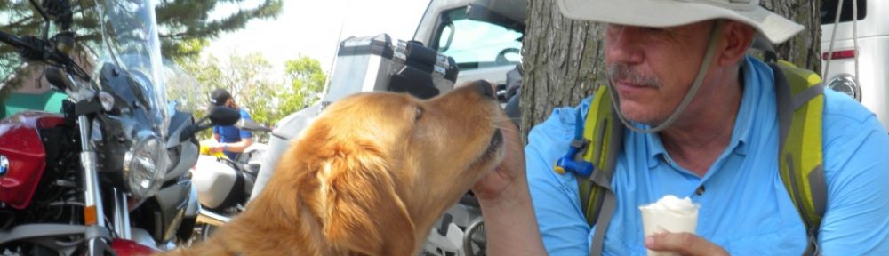
We refueled, had dinner, and found a reasonable hotel using the Kayak ap on my iPhone. I fed, watered, and groomed Barley. Checked the rig and covered it for the night. Showered and uploaded photos. Dog. Bike. Self.
Always.